

- Details
- Written by: Dražen
- Category: Banovina, Kordun, Pokuplje and Moslavina
- Hits: 6036

Destination: Petrova Gora, the summit Mali Petrovac (507 m)
Starting and ending point: Hunter's house Muljava (245 m)
Ascents and descents: 500 m; Elevations range: 245 - 512 m
Duration: 4:30 h of walking (moving time) / 10.3 km
Difficulty: Fit: 🥾⚪⚪⚪; Technically: easy
Tagline: An easy hiking trip at small mountain with big history, a lonely peak (it means - very nice view from the top) and 37 m high monument.
- Details
- Written by: Dražen
- Category: Banovina, Kordun, Pokuplje and Moslavina
- Hits: 11789
All trails from the East begin at Hrastovica, the village 5 km far from Petrinja (on the road to Jabukovac, the branch of the road Petrinja - Kostajnica).
- There a few trails from Hrastovica:
- beside "water supply" - about 1 h of walking
- via the ruins of the church St Spirit - 1 h of walking
- the options via the ruins of the Old Town Hrastovica - about 1h 15 min of walking
- via "Bunkers" and Paljevine - about 1 h 30 min of walking
- "Joso's" trail - 45 min of walking
- "Mile's" trail - 1 h of walking
- All these trails start in the centre of the village. There are small square, parking, shop and spring Bartolovac
Hrastovica
It was famous castle during medieval owned by Zagreb's Kaptol. It is mentioned in the document of Andrija II. (1206th year).
It is destroyed in 1584th year.
GPS tracks: 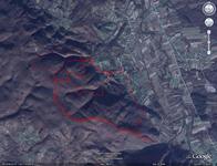
- They will be shown in GoogleMaps by clicking on the map icon
Maps

Eastern approach on topographic map 1:25 000k
- Details
- Written by: Dražen
- Category: Banovina, Kordun, Pokuplje and Moslavina
- Hits: 11786
Tagline
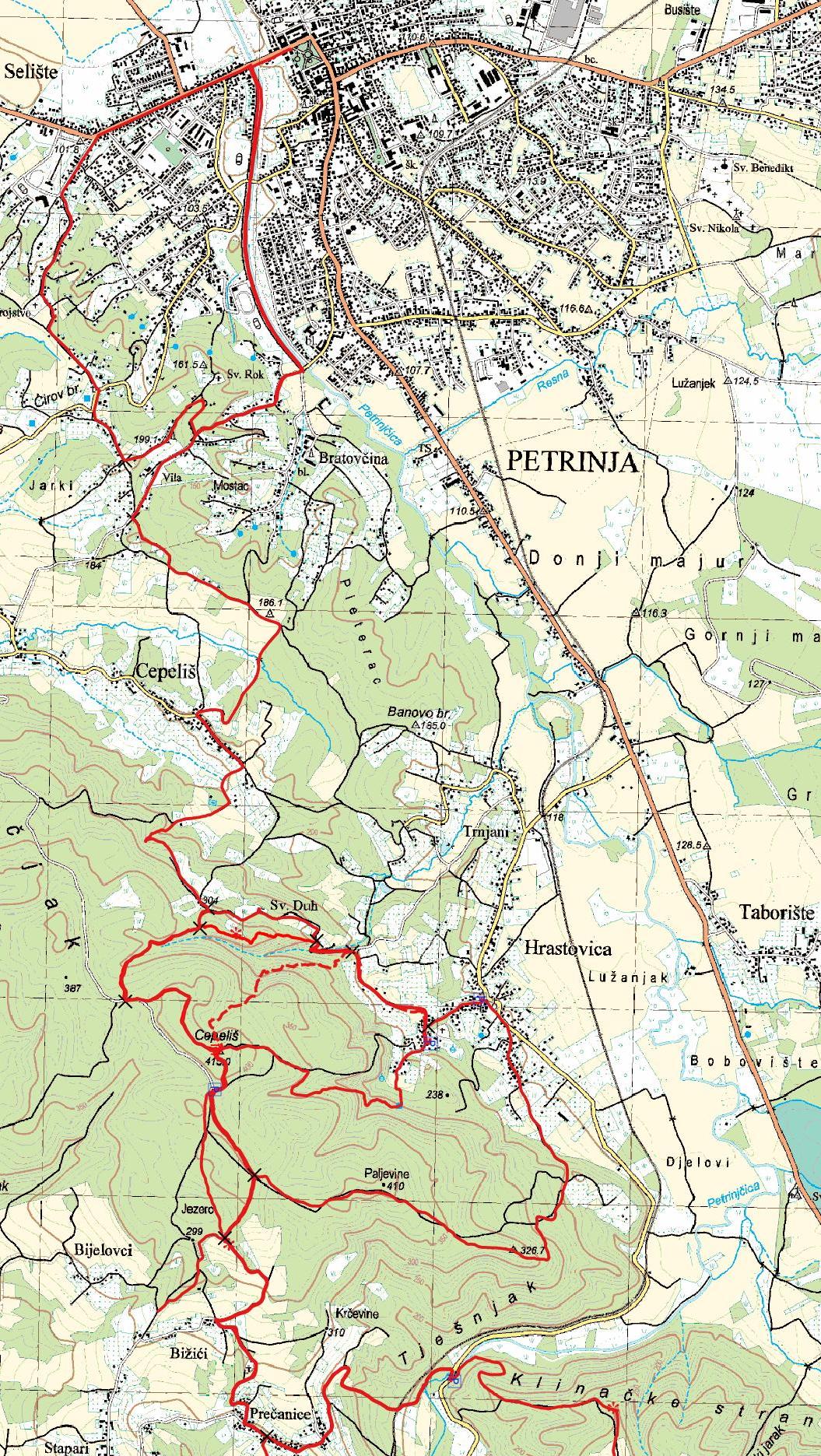
- Northern route is: Petrinja - Vila - Cepeliš village (1:15 h) - the Summit of Hrastovačka Gora (1 h), totally 2:15 h.
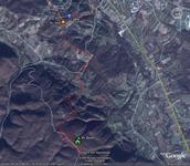 Maps:
Maps:
- Topographic map, TK25, sheet "Petrinja" (4516-2-2-1), Državna geodetska uprava, Zagreb
- Details
- Written by: Dražen
- Category: Banovina, Kordun, Pokuplje and Moslavina
- Hits: 4650
{gallery count=1 alignment=right}galleries/hiking/banovina/petrinjska_setnica/DSC03751.JPG{/gallery}
Destination: "Petrinjska šetnica" - circular marked trail across the hills above Petrinja
Beginning and the End: The bridge over the Petrinjčica (Matija Gubec street)
Duration: about 1.5 - 2 hours of walking (about 6 km)
Difficulty: Easy signed trail
Altitude difference: 100 m