

- Details
- Written by: Dražen
- Category: Mt Velebit
- Hits: 31869

Destination: Stap (860 m)
Starting point: Jelova Ruja (950 m), abandoned forester house and mountaineering shelter
Ending point: Jelova Ruja
Duration: 6 hours of walking
Difficulty: Easy to medium difficult signed trail
Altitude difference: 90 m* (see altitude profile)
Attractiveness: ** to*** (max ***)
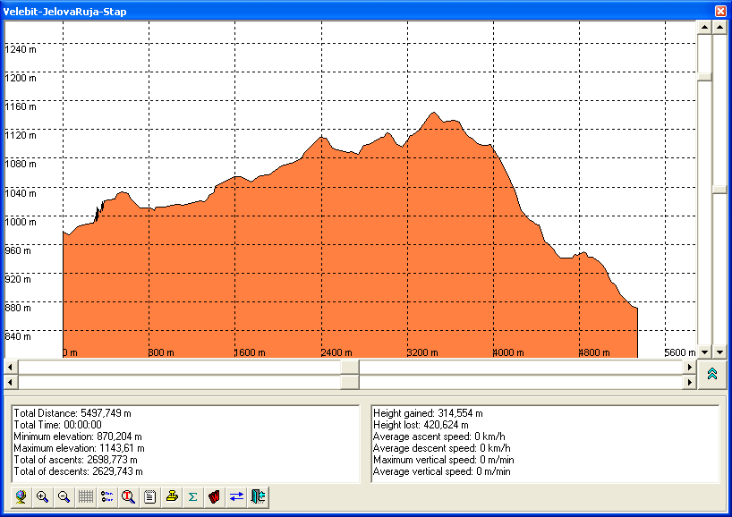
- Usually, we go to mountains, and now we are going to the valley (from 950 m to 860 m). This part of Mt Velebit is less accessible (and because of this there is more walking) but it is worth seeing.
- Details
- Written by: Dražen
- Category: Mt Velebit
- Hits: 34456

Destination: SE Velebit - Crnopac - The Little Prince Trail
Start & end: Parkplace Šimlašica, near Prezid pass (about 1000 m)
Length: 5 h / 7,3 km; Uphill: 600 m; Elevation range: 987 - 1171 m
Difficulty: Fit: 🥾🥾⚪⚪; Technical: very difficult (see Difficulties)
Tagline:
- "At this trail the time actually ceases to exist, because you are totally amazed by the beauty of the landscape so that you forget everything else." says Slavko Tomerlin - Tatek, the explorer of that part of Mt Velebit and the author of the trails.
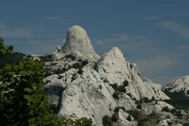
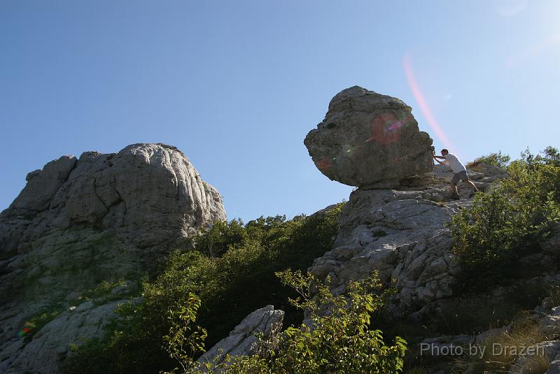
- Although it requires a climber's skills, the selected route - the Little Prince Trail is certainly more interesting than difficult.
- It is beautiful but a difficult circled trail, easy accessible (just 40 min of walking far from parking place). It is convenient for refreshment during summer vacations in North Dalmatia.
- Details
- Written by: Dražen
- Category: Mt Velebit
- Hits: 40172

Destinations: Velika kosa (1622 m), Balinovac (1602 m), Veliki Zavižan (1676 m)
Start and finish: The Mountain Lodge Zavižan (1594 m) (or its parking)
Distance: 4.7 km / 3:30 h; Uphill: 500 m; Downhill: 500 m
Difficulty: Fit: 🥾⚪⚪⚪; Technical: easy except Balinovac: difficult
Elevations range: 1470 - 1676 m
Trail type: signed round trip hiking
Tagline: A perfect small trip (about 3 hours of walking) from the Zavižan Mountain Lodge. The route includes three summits over 1600 m of altitude with beautiful views towards the sea and the Velebit Botanic Garden in Modrić Dolac.
- Details
- Written by: Dražen
- Category: Mt Velebit
- Hits: 37250

Target: Hajdučki Kukovi: Golubić (1650 m) - Kuk (1649 m)
Starting point: Škrbina Draga - Tromeđa (1329 m)
Destination point: Lubenovac (1325 m)
Duration: About 5 hours of walking
Difficulty: Medium difficult signed trail.
Altitude difference: 325 m* (see altitude profile)

Attractiveness: *** (of ***)
Tagline
- A beautiful route through very wild nature, the part of The North Velebit National Park.
- There are two summits about 1650 m of altitude with nice views toward other parts of Velebit and toward the continent. Lubenovac is one of the most beautiful valleys in the North Velebit at 1300 m of altitude. Golubić can be translated as "a little pigeon" and Kuk as "a cliff" ("Kukovi" is pl. - cliffs).
- Details
- Written by: Dražen
- Category: Mt Velebit
- Hits: 36763

Destination: Rožanski kukovi - The Premužić trail (Seravski vrh - 1661 m, Crikvena - 1635 m, Gromovača - 1676 m)
Starting point: Mountain lodge Veliki Alan (1340 m)
Ending point: Mountain lodge Zavižan (1590 m)
Duration: About 8 hours of walking
Difficulty: Easy signed trail. The ascent to Crikvena requires a little climbing (but it is very short - 5 min)
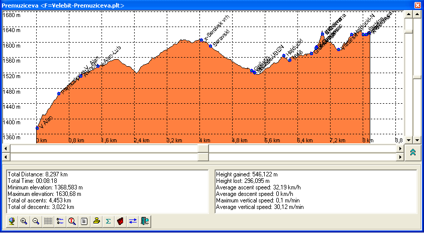
Altitude difference: 336 m* (see altitude profile)
Attractivness: *** (of ***)
Tagline:
- The Interesting mixture of wild and inaccessible nature with the trail especially well built and integrated in the landscape. The Premužić trail was built in the first half of the 20th century in a traditional way. It consists of stones only without concrete, in Croatian: "suhozid" (dry wall). There are no big ascents (only a few stairs in the rocks of Crikvena) but it leads through almost an impassable but beautiful part of Mt Velebit. Here is the description of its northern part (16 km long) through North Velebit called - Rožanski kukovi. This area is placed inside of Northern Velebit National park.
