Destinations:
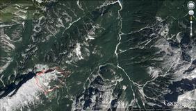
- Mala Mojstrovka (2332 m)
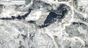
- Prestreljenik (2499 m)
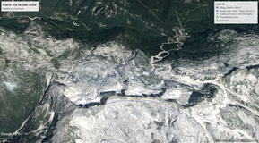
- Visoki Kanin (2587 m)
Difficulty: From easy (Prestreljenik) to very difficult (Hanzova pot, Ferrata Julia)
Tagline: A few family trips in private arrangement to Julian Alps at Bovec surrroundings. Nice weather and nice landscapes and one fantastic day spent for canyoning and rafting on Soča.
Mala Mojstrovka (2332 m)
Route:
- Erjavčeva koča (1525 m) - Vratca pass (1807 m) - Hanzova pot (ferrata) - Mala Mojstrovka (2332 m)
- Mala Mojstrovka - Southern route - Erjavčeva koča
Duration of ascent: 3.5 h eff (4.5 h - spent)
Descent: 1.5 h eff (1:15 h - spent)
Trip notes:
Photo-album by Dražen is here.
References:
-
Mala Mojstrovka @ hribi.net
-
Hanzova pot @ hribi.net
-
Mala in Velika Mojstrovka ter Travnik, Andrej Štritar, 111 Izletov po Slovenskih gorah, Sidarta, Ljubljana, 8th ed, 2006.
Prestreljenik (2499 m)
Tagline:
A short , easy and nice route at alitudes (2200 - 2500 m) in Julian Alps convenient for children (starting point is accessible by cable car from Bovec). The route goes from cable car station "D" to Prestreljenik. 10 min before top there is "ferrata" branch toward Okno. Ferrata set is recommended/required for children at ferrata, only.
Route:
- D cable car station (2202 m) - Prestreljenik (2499 m) - Family ferrata - Okno - D cable car station
Duration: 2 h eff (2,5 h spent)
Trip notes:
Photo-album by Dražen is here
GPS tracks:
- Altitude profile is here
- In order to view GPS tracks in GoogleMaps application, please click on the map icon:
References:
-
D Postaja - Prestreljenik @ hribi.net
Visoki Kanin
Route:
- Nevea Pass (Sella Nevea) - Rifugio Gilberti (1850m) - Via ferrata Divisione Julia - Kanin reef - Okno - D cable car station (in Slovenia)
Trajanje obilaska: 6,5 h - efektivno
Trip notes:
Photo-album by Dražen is here
GPS tracks:
- Altitude profile is here
- In order to view GPS tracks in GoogleMaps application, please click on the map icon:
References:
- Visoki Kanin @ hribi.net
Maps:
-
Kranjska Gora with surroundings, hiking map, M 1:25.000, Planinska Zveza Slovenije.
-
Triglav National Park, hiking map, M 1:50.000, Planinska Zveza Slovenije.
-
Julian Alps, Western part, hiking map, M 1:50.000, Planinska Zveza Slovenije.
- Alpi Giulie Occidentali Tarvisiano, hiking map, M 1:25.000, Tabacco


