")
")


Date: July 12-14, 2013.
Route:
- Restaurant "Präbichler Hof" (1270 m) - Mt. lodge Reichenstein hut (2.136 m) : 2, 5 h
- Mt. lodge Reichensteinhütte(2.136 m) - Reichenstein (2165 m) - Mt. lodge : 40 min
- Mt. lodge Reichensteinhütte (2.136 m) - Restaurant "Präbichler Hof" (1270 m) : 2 h
Difficulties: easy signed trail
Altitude difference: 900 m
Starting and Ending point: Restaurant "Präbichler Hof" (1270 m) - about 1 h of driving from Graz
Tagline:
- The 12th traditional hiking named Velebit XXX, but this time the hiking was at Eisenerzer Alps in Steiermark, Austria - the selected target was Reichenstein (2165 m). This time the weather was nice and the Alpine landscapes with steep but easy grass trails gave us the perfect joy of Alps hiking.
Notes from the trip:
- Mt lodge is bicycle friendly! That means it is accessible by the bikes even though it is located 900 m above the nearest road..
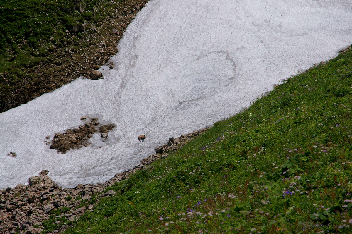
- We saw the chamois that eats snow
- Photoalbums (by Dražen)
- The photos from the trip are here
Transport: Individually by cars
Accommodation:
- Reichensteinhütte, 2.128 m
- The price was 8 Eur in Matratzenlageru for UIAA members.
Maps:
- Bundesamt für Eich- und Vermessungswesen - Bl. 101, Bl. 132
- Freytag & Berndt u. Artaria KG Publishing and Distribution - Bl. WK 062
") KML file for viewing the tracks in GoogleEarth (TM) application
KML file for viewing the tracks in GoogleEarth (TM) application- In order to view the tracks click on the map icon:
Guided and organized by: Vjeko
References:
Equipment:
- nothing special (hiking boots, rucksack and optionally sleeping bag for sleeping in "matratzenlager")


